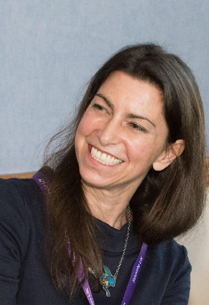
Space4Climate Vice-Chair Donna Lyndsay is a driving force within Ordnance Survey (OS) as Innovation Lead and a valued member of the Space4Climate Board. Here she discusses how membership of Space4Climate has benefited Great Britain’s National Mapping Agency.
By Isabelle Crozier-Morris and Amy Wright, Graduate Innovation and Research Scientists at Ordnance Survey (OS) who have been spending some of their time on placement with Space4Climate
For the last two years, Ordnance Survey has been a funding member of Space4Climate and during this time it has been exposed to exciting opportunities working with members and key partners.
From facing a panel of young people in a schools’ Q&A with UK European Space Agency astronaut Sir Tim Peake at COP26, to collaborating on development of an innovative peatlands observation and monitoring system from space, Donna Lyndsay has played a proactive role. She says: “I’m a firm believer that what you get out of any opportunity is based on what you put in, and that has certainly proved to be the case with our membership of Space4Climate.”
Networking opportunities across UK Earth Observation
Donna picks out three top benefits from membership of the UK’s Earth Observation climate community: Networking opportunities, cross-industry collaboration and visibility in the space sector.
She says: “Space4Climate’s membership is a unique blend of large corporate organisations, SMEs, government agencies and academia, united in one purpose: focusing on bringing the end user closer to the climate conversation. It gives members access to a large networking pool covering a range of interests. It is really hard to achieve that elsewhere.
“There are networking opportunities across the industry, which members can pick and choose from depending on their needs.”
Cross-industry collaboration
Donna believes that the rapidly growing space industry, which has historically been quite disjointed, has long needed a place to come together. With more than 40 members drawn from the public and private sector, UK research institutions, academia and the third sector, Donna describes Space4Climate as providing ‘a good way of getting a good understanding of what’s going on in the industry’. She points to the UK Space Agency heat data project as an example of where OS has been able to support the sector through showing its customer base how satellite-derived climate data could meet their needs.
In addition, recent work by OS used satellite data to monitor peat health from space, which was developed in partnership with Space4Climate, Assimila and the University of Durham and Donna highlights the project as one example of driving forward collaborations that can deliver impactful data to the end users. She adds: “It has enabled OS to have different conversations with existing customers as well.”
Visibility in the space sector
Space4Climate Task Groups focus on a particular emerging topic, issue or area of need, bringing together expertise across different sectors from within the membership and among its key partners and end users. Donna describes this from OS’s point of view as ‘a voice to talk to the community and providing greater visibility in the space sector’. Current Task Groups include Climate Risk Disclosure, Food Supply Chain Climate Resilience and Climate and Earth Observation Data for International Aid and Sustainable Recovery.
Joining Space4Climate at COP26
In November 2021, Ordnance Survey was given the opportunity to attend COP26 in Glasgow, to present the Peatlands Observatory project alongside Space4Climate. As well as playing a key role in building content to be showcased at the influential global climate conference held in Glasgow in 2021, Donna and a group of OS’s Innovation team, were based in busy Green Zone on the Space4Climate stand in association with the European Space Agency Climate Office. Donna says: “This collaboration was a great success and allowed OS to engage with a different audience. Being a member means that there are opportunities for customer exposure through conferences such as this.
“Your involvement can be on many different levels, and you can really get stuck in and really deliver that impact. Or you can just listen in and learn.”
Meet OS and Space4Climate at GEO Business
You can meet Donna and Space4Climate’s Interim Manager, Krupa Nanda Kumar, on the Ordnance Survey stand at GEO Business, in London, May 18-19, 2022. Donna will be speaking on the Geospatial and the sustainability challenge at 3.30pm on the 19th, sharing how OS is using its innovation capability and its expertise in location analysis to support sustainability initiatives. Krupa will be joining the stand on the 19th.
Find out more about membership of Space4Climate
Space4Climate holds ‘Be Our Guest’ – an informal online tea break – on the first Tuesday of every month where new and prospective members can find out more about the group. Please email Sally Stevens, Communications & Engagement Manager, if you would like to join a tea break.

(Left to right) Charles Draper, Amy Wright, Harry Gibson, and Dan Hirst